Ready for every county
If the region worked, the state would too. Overnight, every county in Kentucky got what McCracken’s neighbours had, ready for the day its own parcels arrive.
The question
what if we want to do this for the entire ohio river (and tennessee and cumberland) all the way across kentucky, and then also, all the roads and selections and coloring for tron-kentucky all counties?
Sep 30, 23:41
The plan came back as an overnight run: download what’s needed, build each layer the region’s way, check everything, and leave a report by morning. Then one question cut it down to size.
what is the use of the lidar/elevation data in the tron/road visual? … i’m not entirely sure we need it at all
Sep 30, 23:53
Roads and rivers don’t use it at all. Only the tilted views need ground under them, and a state seen whole doesn’t need it at two-foot detail.
skip the lidar, get the roads and 10m backdrop. caffeinate isn’t needed the studio is a real computer.
Sep 30, 23:54
One grid for every county
Before anything ran: would the state fit what McCracken already uses? It does. Every county is drawn on McCracken’s own grid, the state’s survey feet, so everything built for McCracken reads any county unchanged, and every county’s parcels will share one map. At the far corner of the state, the tip of Boone County, the grid stretches distances by less than a twentieth of a percent.
The rivers, inside Kentucky
you can stop tracking the cumberland as soon as it exits kentucky.
Sep 30, 23:57
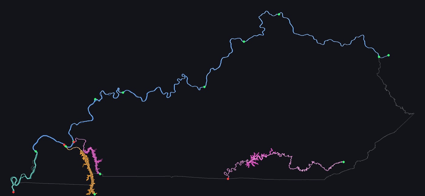
So the Cumberland is two pieces: the upper river, from Harlan to the Tennessee line, and Lake Barkley, from where it comes back in to Smithland. The Ohio runs 667 miles of channel along the state’s whole northern edge. It comes in nine reaches, split at the mouths of the Big Sandy, the Licking, the Kentucky, the Salt, the Green, the Wabash, the Cumberland and the Tennessee, and it ends exactly where the Mississippi begins, at Cairo.
A seat for every county
The light flows to each county’s seat, so every seat needs a point. They come from the state’s own list, each checked against its Census town and required to sit inside its county. Kenton and Campbell each have two.
Two cities needed a ruling. For Louisville and Lexington, the state’s list and the federal place-name list put the town’s point miles apart. So each went to whichever point has more street around it. A first try with the Census Bureau’s own “representative point” had put Louisville’s about four miles from downtown, and it was set aside.
The ground
The backdrop is the national 10-metre elevation map, stitched from 28 surveys made between 1947 and 2024, nearly all of it by LiDAR. Where it overlaps the region’s own LiDAR, the two agree to within half a foot at the median. One source file had changed upstream since it was first copied. The new one was kept beside the old, never over it.
Go
go
Oct 1, 00:09
The run started at 00:29 and finished at 01:36. Downloading took 49 minutes; every other stage took a minute or two. In the morning there was a report: 31 checks, all passed, each with what was expected and what it got.
The last check is the one that matters most. The statewide scripts rebuilt the Purchase region, and every file came out identical to the one built the evening before. The region’s way of working now scales to the state without changing a byte.
Which counties go together
The state groups its counties three ways, and its geography office publishes all three: 15 development districts, 9 tourism regions, and the landscapes. Every county now has its place in each. The Purchase development district turns out to be exactly the eight Jackson Purchase counties.
The pipeline, being prepared
… what needs to happen to enable other counties
Sep 30, 17:28
Here is what’s ready now for a county that hasn’t sent its parcels yet:
- its outline, its seat, its rivers and its ground;
- every road, packed and published, loaded as you go on the Apple TV;
- its development district, tourism region and landscape;
- the way in for its valuation office: an upload app on the office’s computer, a receiver that checks and keeps every file, and the loader that turns a delivery into Taxr’s parcel records and pages.
And here is what’s on tap:
- each county’s parcels as glass, from its first delivery, by the playbook McCracken’s were built with;
- a home for parcels like the one roads have now (“eventually we will want parcels.taxr.org but not yet”);
- the six official regions, and more rivers: the Green, the Kentucky and the Licking;
- the 2026 flight, as the state publishes it;
- the statewide build moved into Taxr’s own code, so the next run is one command.
McCracken has 35,194 parcels in glass. The other 119 counties have their roads lit and their seats waiting for the light, ready for the day their parcels come in.
- What about the whole state?
- Skip the LiDAR; roads and a 10-metre backdrop.
- McCracken’s grid; the Cumberland stops at the state line.
- Go.
- The run starts.
- Done: 31 of 31 checks, the region rebuilt identical.
- Handed over for the statewide page.
- Which counties go together.
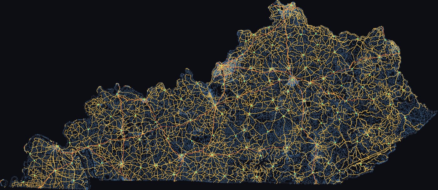
- Every county’s roads published, loaded as you go.